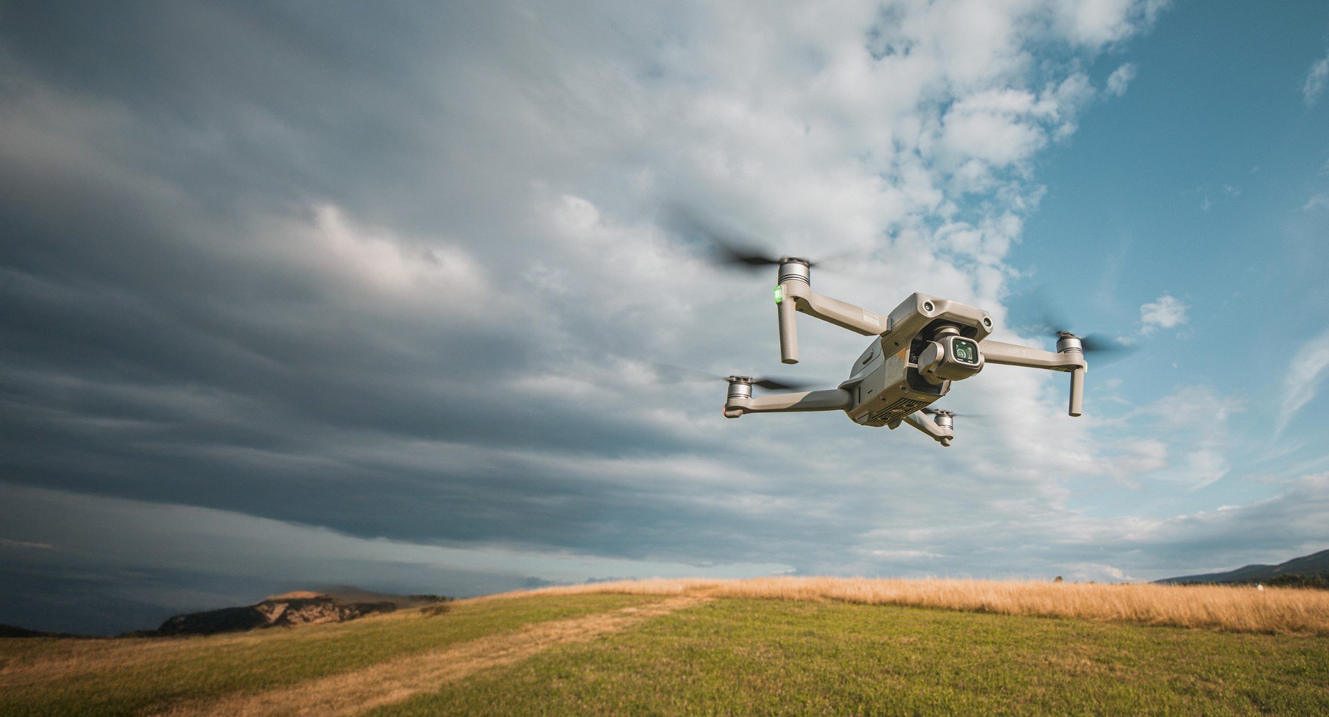
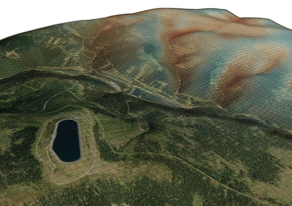
Mapping and measurement:
RGB cameras
- Asset passporting
- Landscape maps
- Surface change monitoring
- Calculation of cubatures
- Surveying
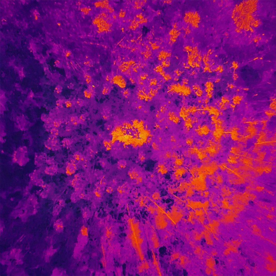
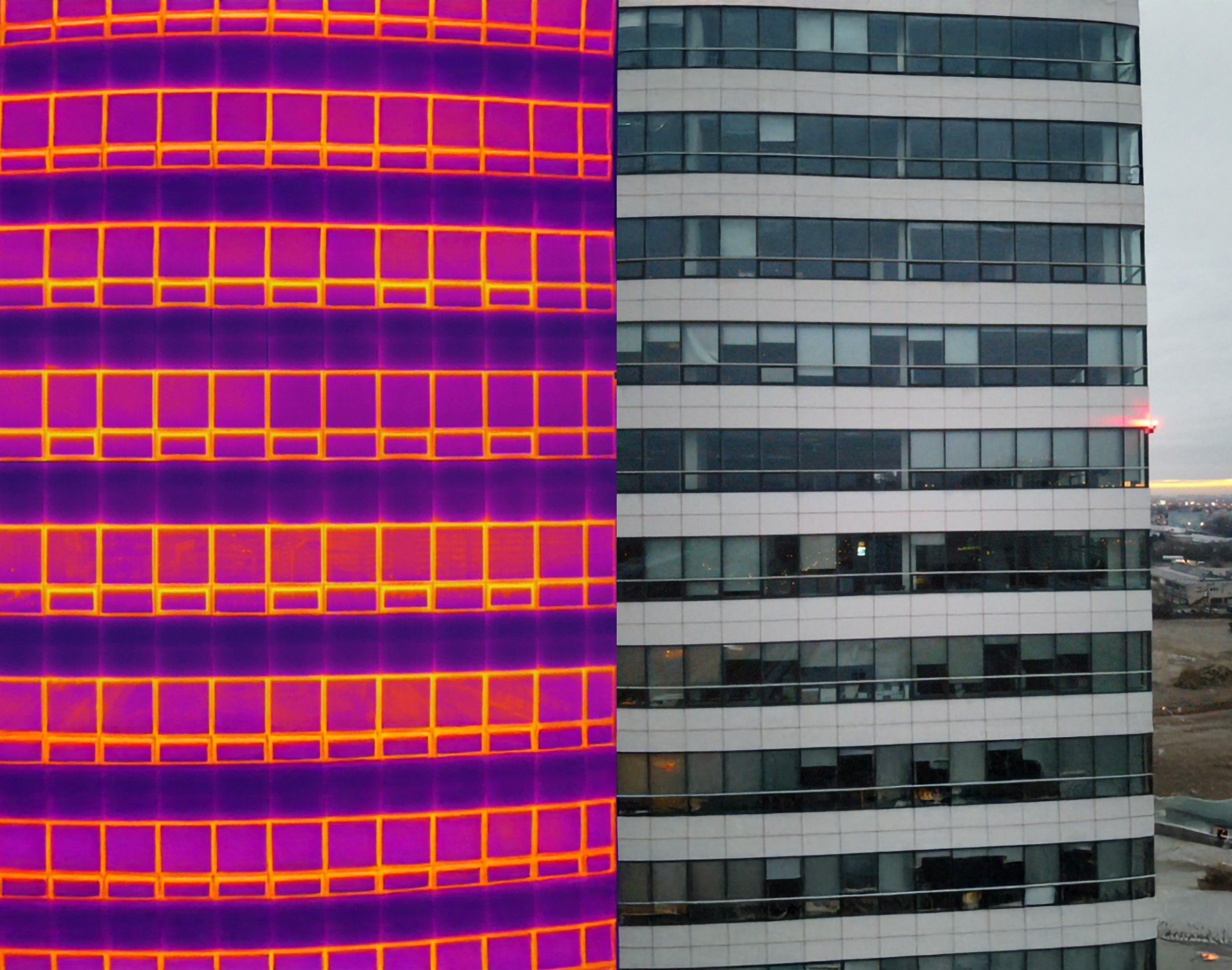
Monitoring and inspection: thermal and multispectral cameras
Precision agriculture
- Lack of moisture and nutrients
- fertiliser application
- Disease mapping
Forestry
- Mapping forest and stand health
- Game census
- Calculation of timber volumes
- Bark beetle infestation
Ecology
- Air pollution
- Watercourse mapping
- Changes in the landscape and inaccessible areas
Monitoring and inspection: thermal and multispectral cameras
Power Engineering
- Heat and fluid leaks,
- Inspection of solar panels and wind farms
- inspection of power lines
Construction and architecture
Waste Management