Try GeoWork today
Install the app from Google Play or the App store.


Easy to use app
Applications can be controlled intuitively in a few clicks
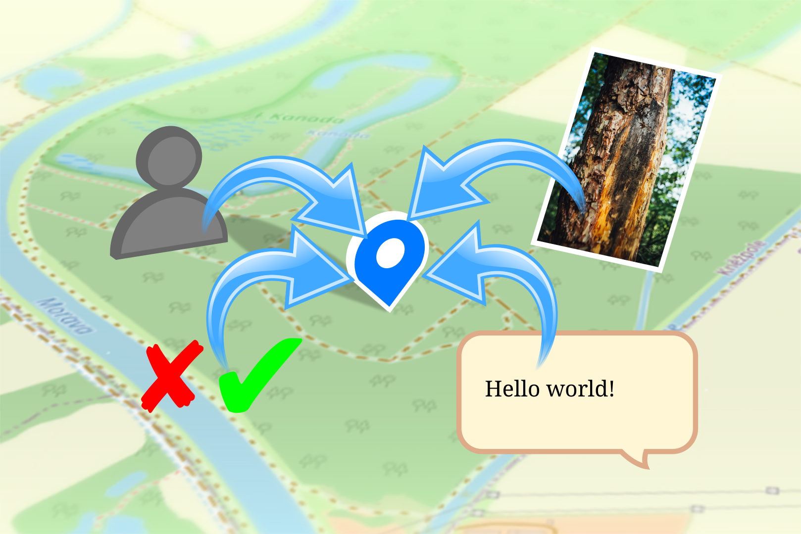
MARK AND DESCRIBE A POINT ON THE MAP
Fault, diseased tree or lost game? Mark the point of interest (marker) on the map. Describe what it is.
The marked point becomes a chat room with a history. All information about the spot can be shared with your team members right away.
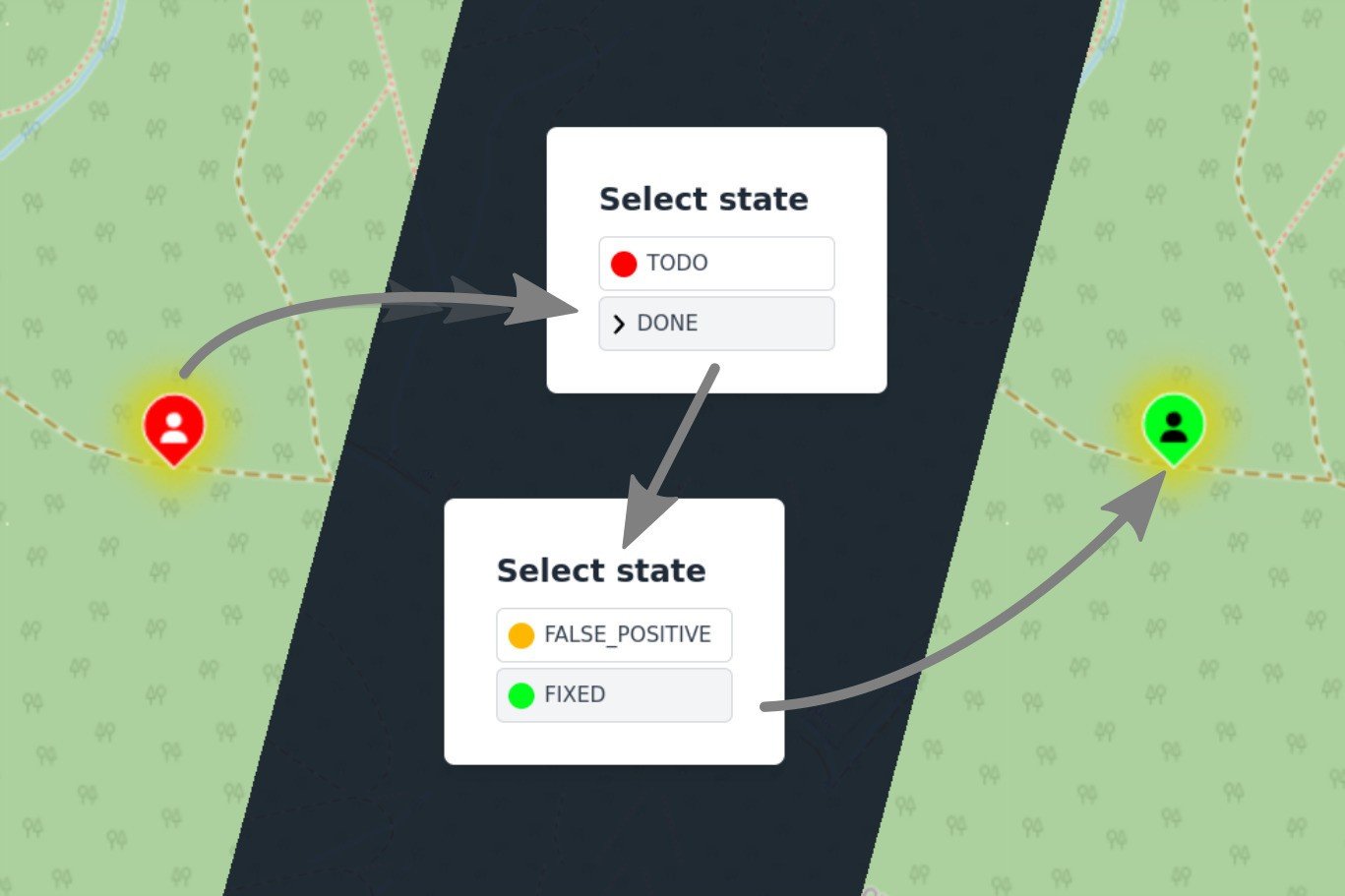
CREATE AND CHANGE POINT STATE
Uniform and clear communication thanks to simply and intuitively defined points that describe the situation. All collaborators of a given project will see clearly what needs to be done and can focus on the work. The status can be defined by project managers based on specific needs.
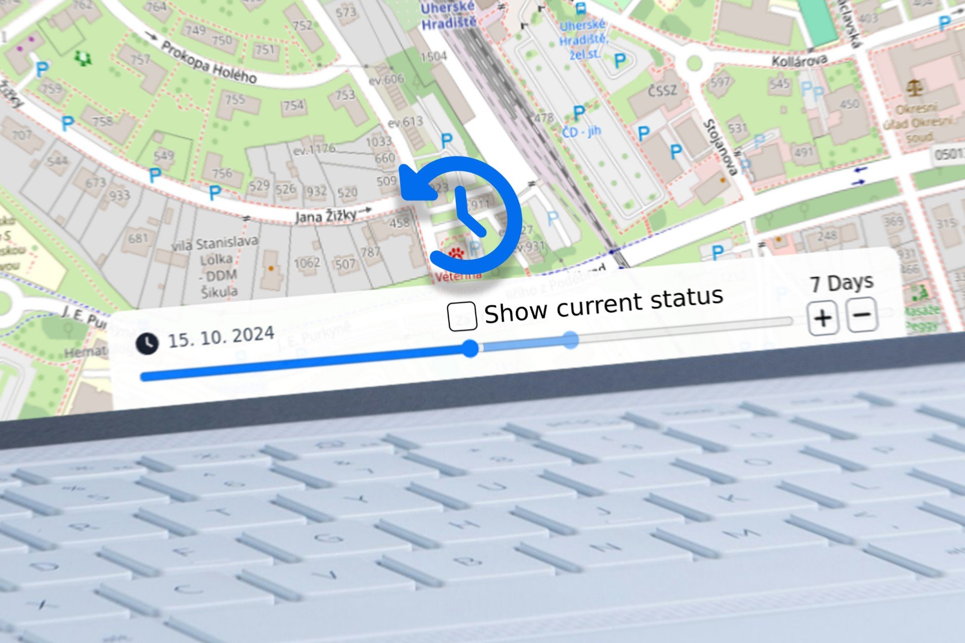
RECORDING CHANGES OVER TIME
Track progress and development at a marked point in the field. The changing state of the marked point is stored in layers: given time = given state.
The advantage is also the monitoring of task performance by individual team members in the field. The application stores data in days, months or years.
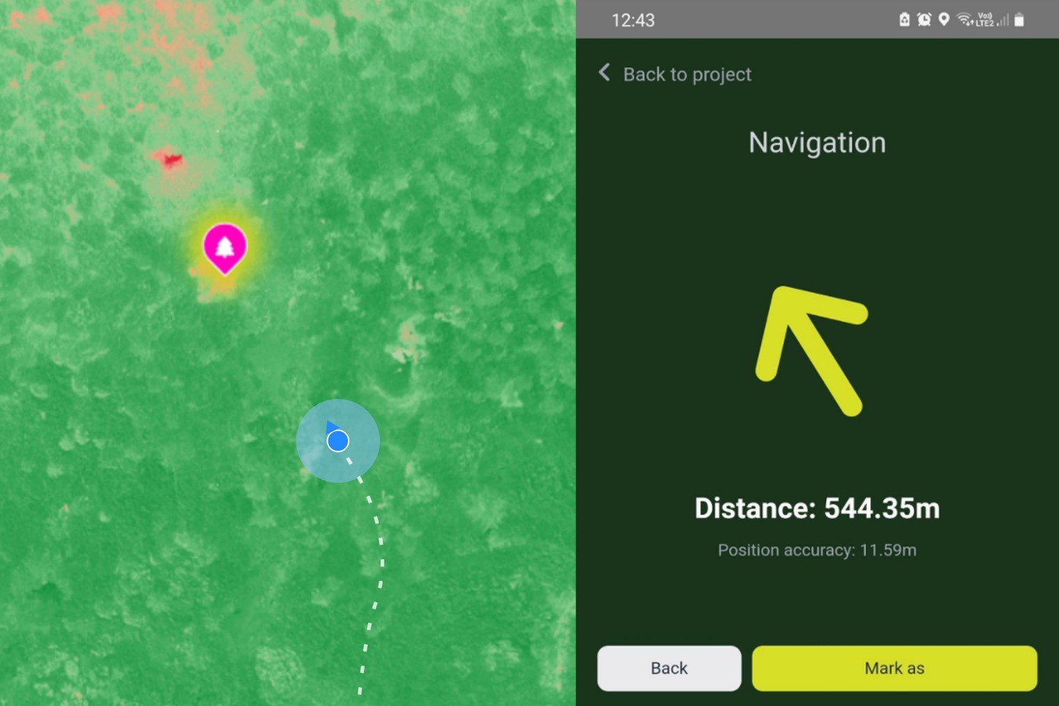
EASY NAVIGATION TO YOUR DESTINATION
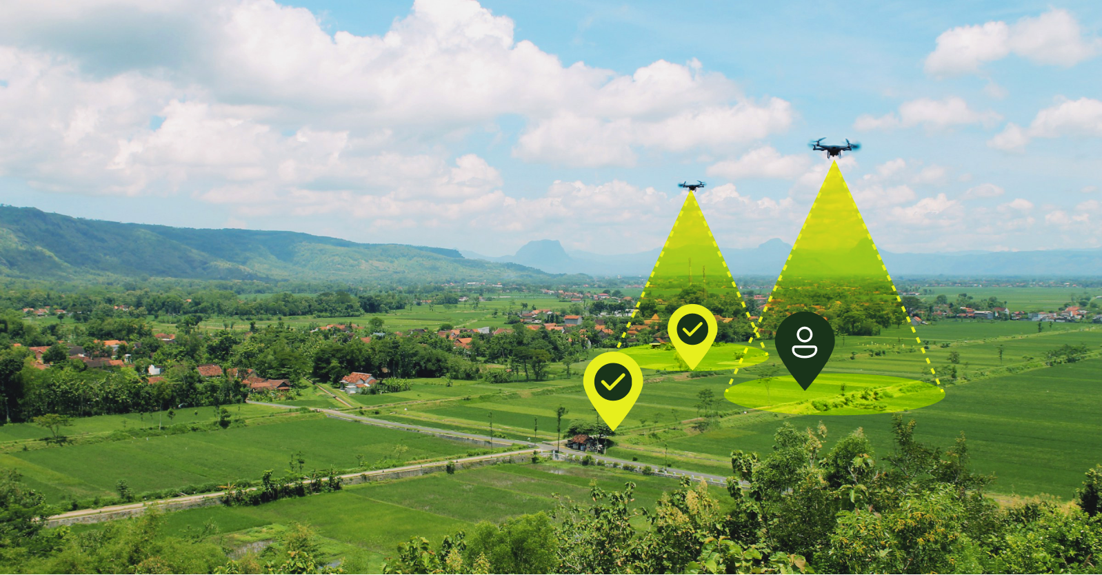
The connection to the drone's GPS makes navigating the terrain clear and easy. You won't get lost in your data. Find the shortest route to points of interest with confidence that you are in the right place.
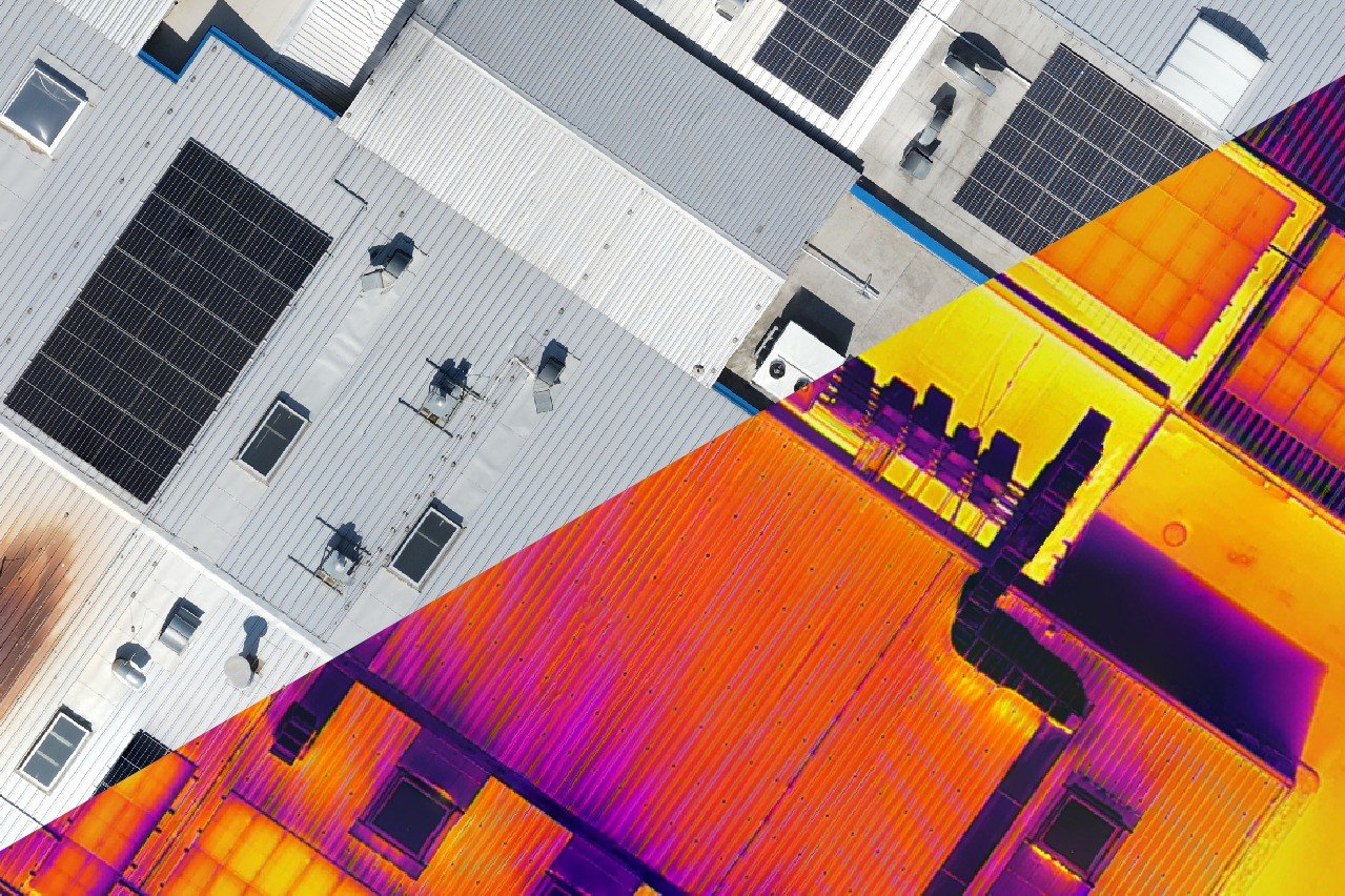
IMAGES IN LAYERS
Upload RGB, thermal, multispectral and/or single band raster data with geotags. Organize them and easily switch between different styles. Easily track the evolution of your data over time. Clear visuals make communication easy to understand for the whole team.
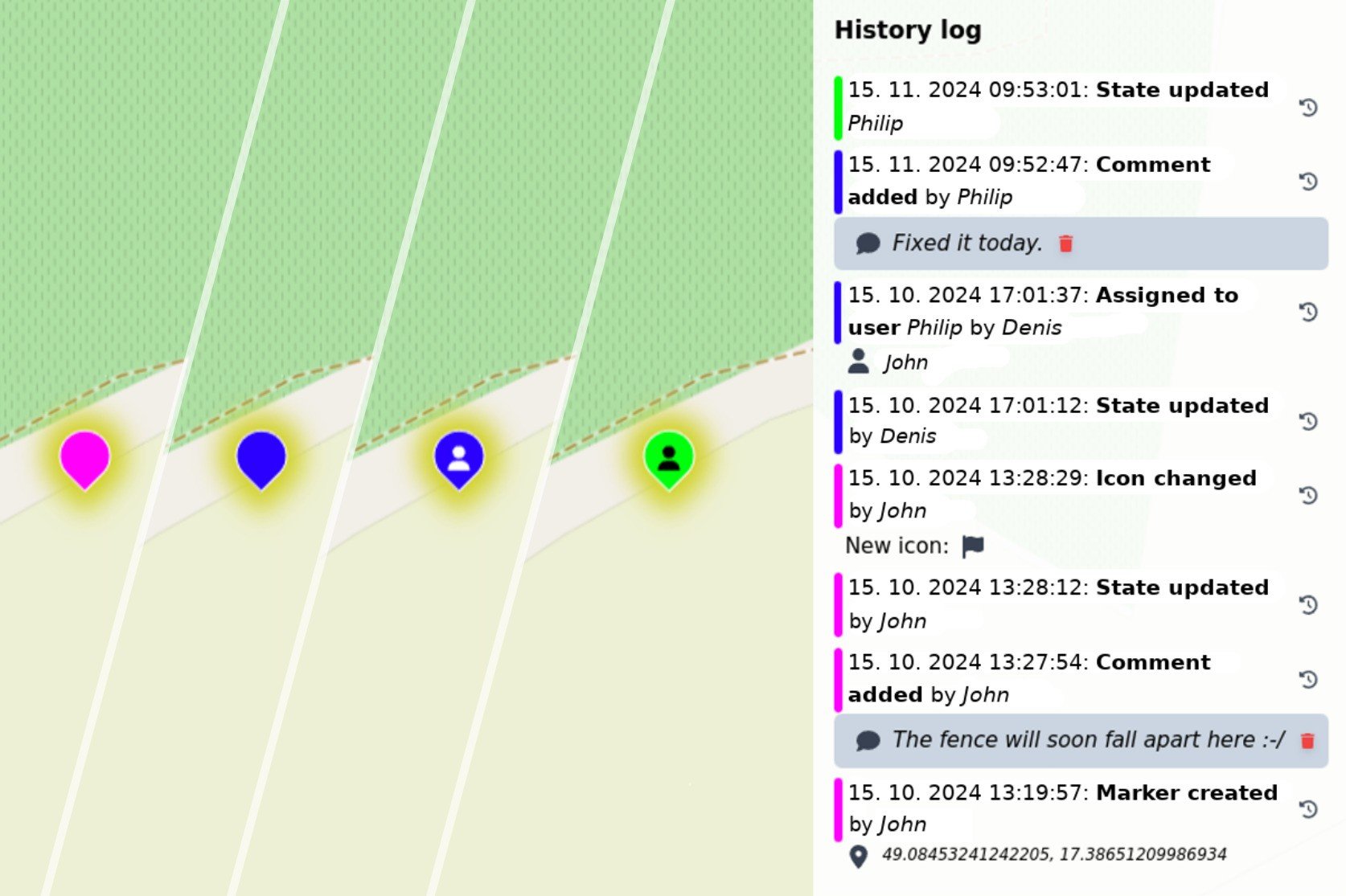
CONTINUOUS MONITORING: WHO, WHEN, WHERE
Don't lose track of what has been done, who did it and when it was done. Keep full control of the project and keep an eye on your team with a clear status of all events. Get an accurate personalized record of task resolution.
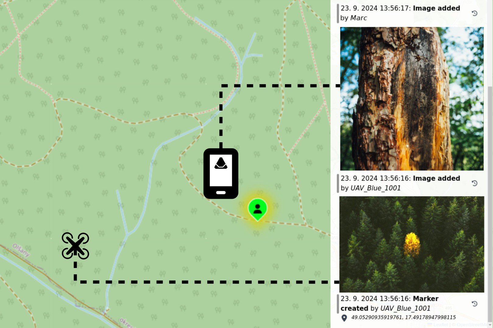
TAKE PHOTOS AS NEEDED
Add photos to points and places or create points from photos directly. Use your mobile phone, drone or other source to add and share photos of situations and issues with all participants.
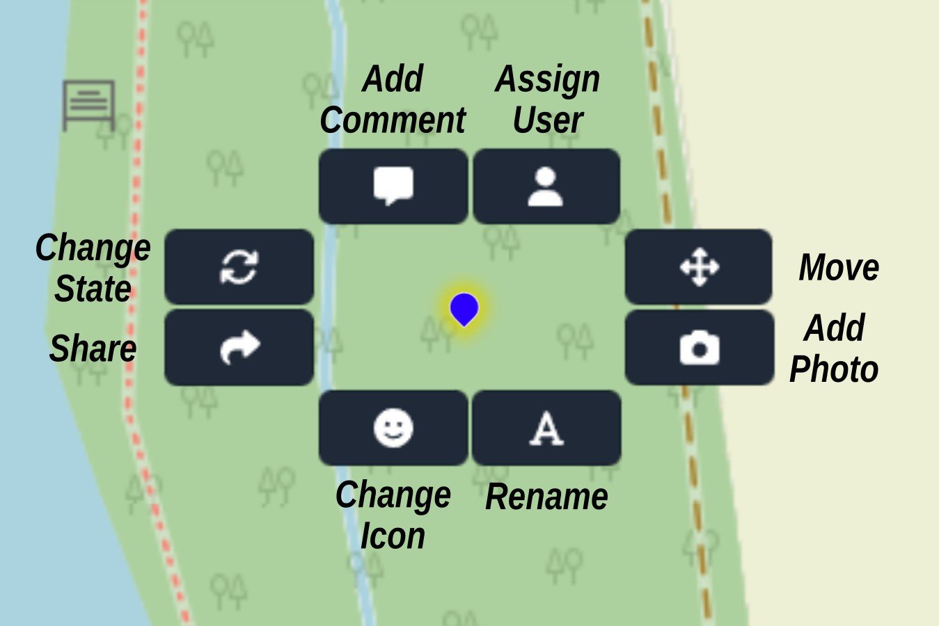
FUNCTIONS IN SHORT
Actively work with marked locations thanks to convenient functions:
- Identify the solver of a specific task,
- Add comments to photos,
- Share the status of a task with simple links,
- Edit the location of points of interest,
- Rename them or give them their own icon with one click.
PRICE OPTIONS TAILORED TO YOUR NEEDS
The application is available at favourable prices for different monitoring complexity
- Own account
- 2 free projects for 3 months
- 10 GB of storage
- 10 users in each project
Standard
- maximum 10 projects
- 50 GB of storage
- 20 users per project
Corporate
- maximum 20 projects
- 150 GB of storage
- 50 users per project
- Programmable functions
- User training
- Account administration capability
- Other services by agreement