
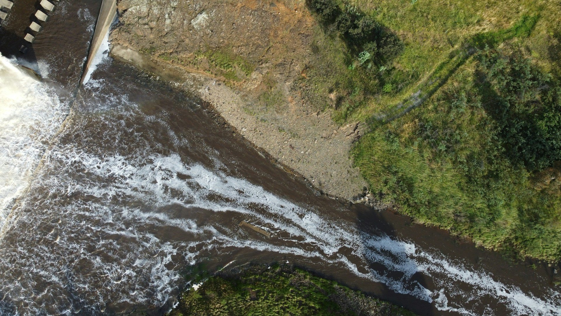
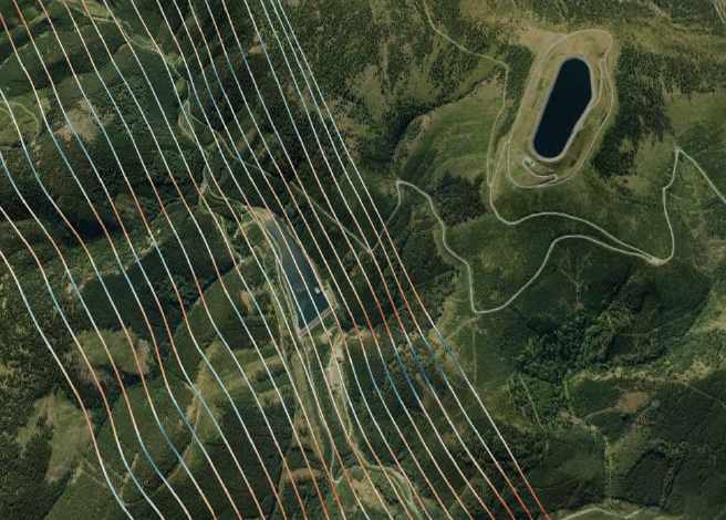
Water and water surfaces
Construction of dams, reservoirs, water channels. Thanks to geometric and satellite data, we can map the static surface and simulate the dynamic wave motion during construction disruptions or natural disasters, thus identifying areas at risk.
Air flow
Chimney construction: we simulate the dispersion of pollution particles and their impact on surrounding buildings. Are you planning to build wind turbines? We calculate the optimal location of wind turbines in the area based on wind flow analyses.

Thermal analysis
The thermal analysis method measures the physical, mechanical and thermodynamic changes that take place under the influence of changing temperatures and loads. They allow us to determine at which temperatures significant changes occur on bodies and surfaces.